报道要点
卑诗林业厅初步报告指出,Pear Lake山火受灾地部分区域的滑坡、洪水及泥石流风险高,道路、铁路与物业尤其需要关注。该火灾今年烧过Clinton周边逾1,600平方公里,毁坏超过一百处建筑。
背景与影响
Thompson Nicola区域局表示,火灾后头两年风险较高,降雨及春季融雪会加剧隐患,重点是溪河床附近、陡坡底部及上方严重烧毁地形的住户。烧毁后的排水系统与土壤吸水能力改变,可能使雨水更快沿地表流动。
仍待确认
当地牧场业者说,上月雨后灰烬杂物堵塞溪流,曾造成道路约一天无法通行,附近亦出现滑坡,其后已清理。省府更详细风险报告预计12月完成;现阶段属于初步评估,不代表每处物业已被判定须撤离。
来源:CBC News 原报道。大鱼新闻整理原创中文摘要;保留原网页刊发日期。
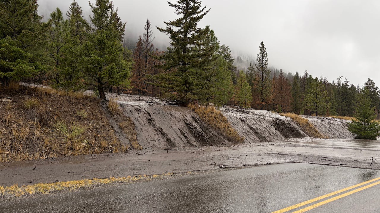
A road in B.C.'s Cariboo region was recently washed out as a result of a landslide following the Pear Lake wildfire. Officials say large wildfires could worsen landslide risk in the region. (Submitted by Dori Hampton)
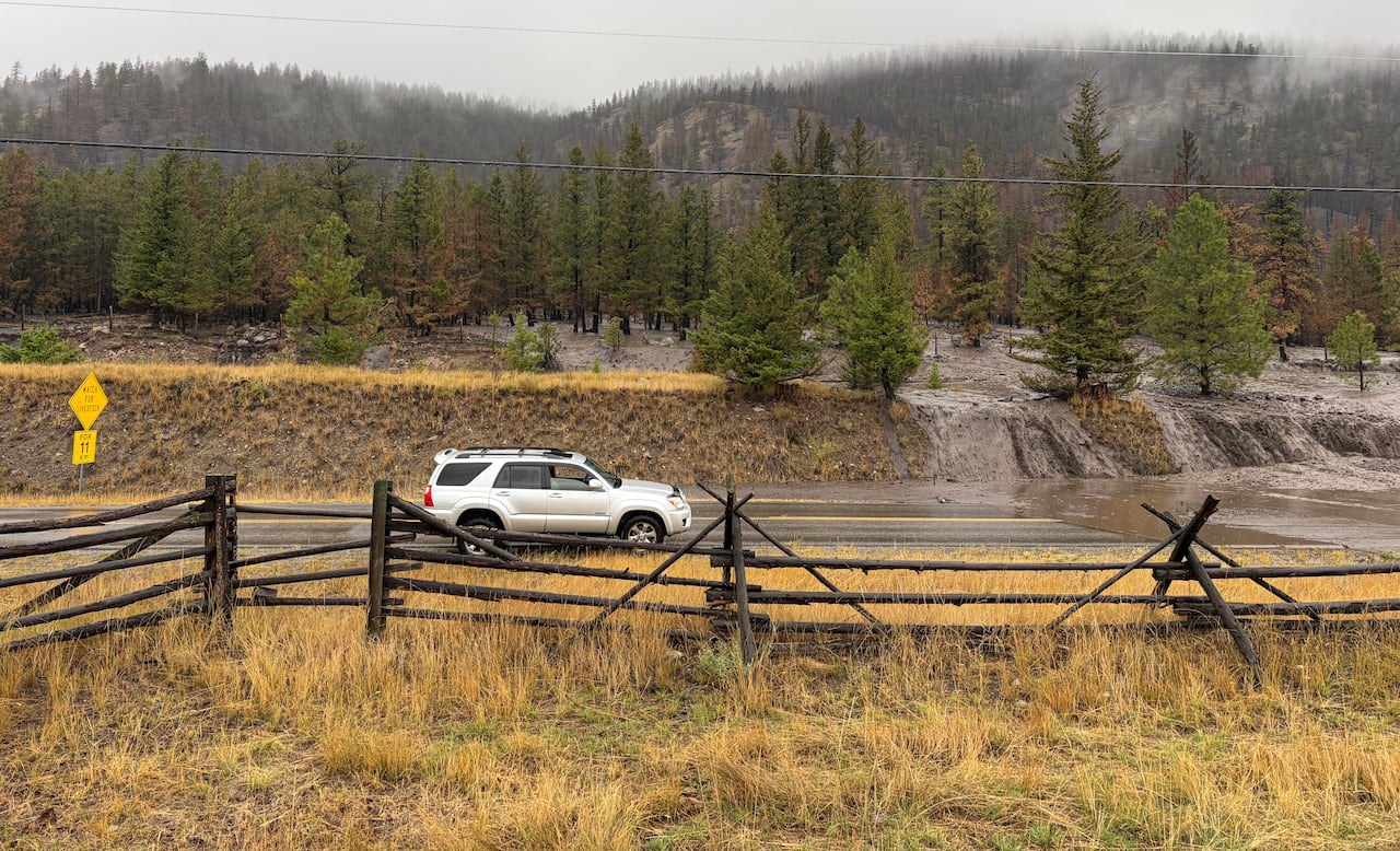
Traffic was temporarily halted on a road in the Cariboo due to a landslide following the Pear Lake wildfire. (Submitted by Dori Hampton)
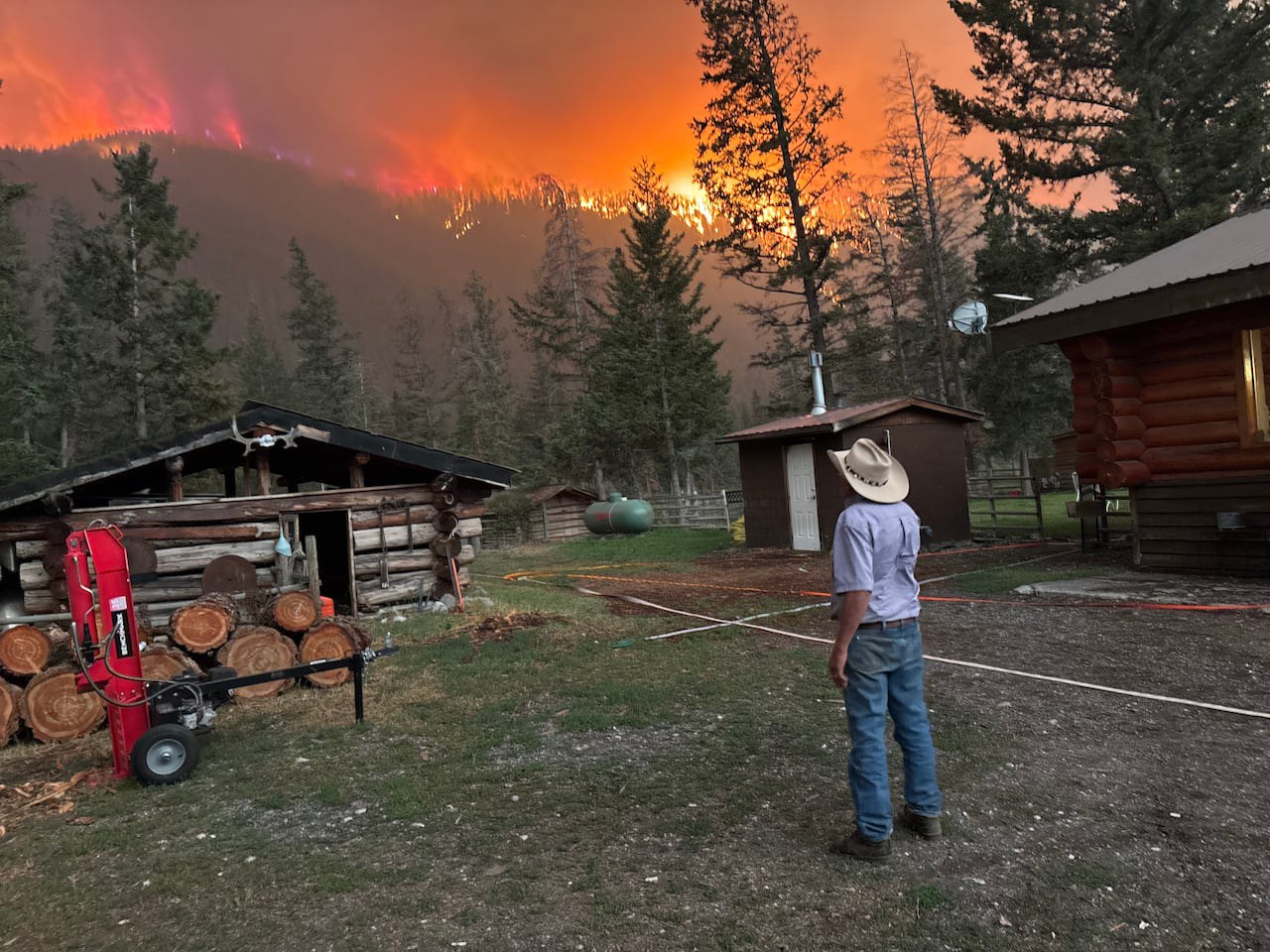
Gill Kurtz, owner of the Hitchin’ Post Ranch near Clinton, looks on as the Pear Lake wildfire approaches his property. More than 12 hectares of land on the ranch was burned in the fire. (Submitted by Nor Parke)
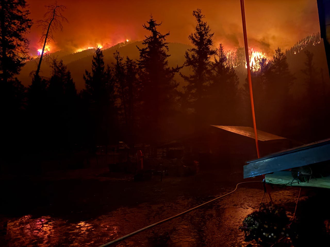
The Pear Lake wildfire burned more than 1,600 square kilometres in the Clinton area and was deemed to be B.C.’s largest wildfire of the summer. (Submitted by Nor Parke)